
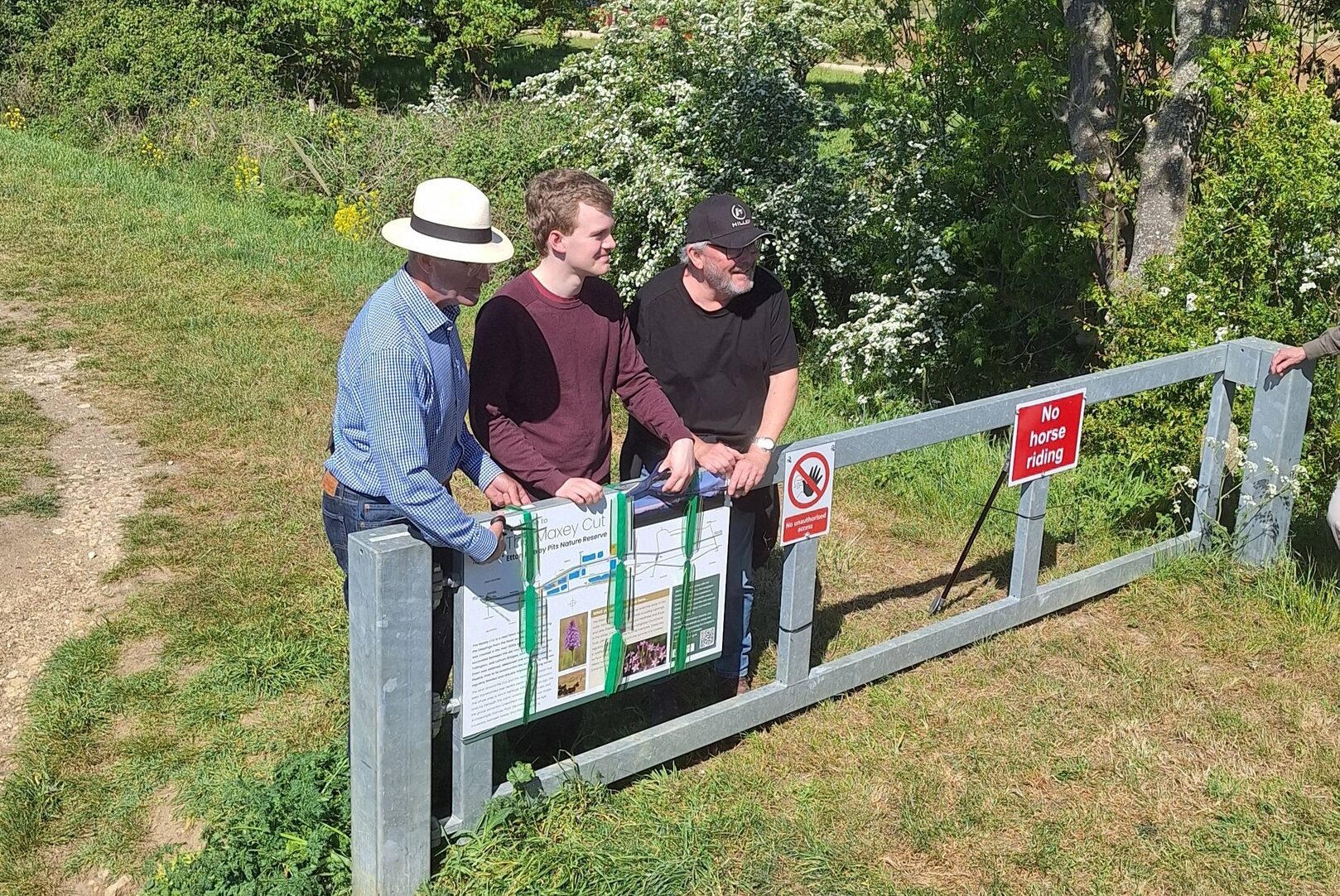
A new information trail together with new access points to view nature has been officially opened.
The trail is designed to encourage people to discover the history and nature of the Maxey Cut.
MP Sam Carling and councillors Peter Hiller and Kevin Tighe cut the ribbon to unveil the first sign.
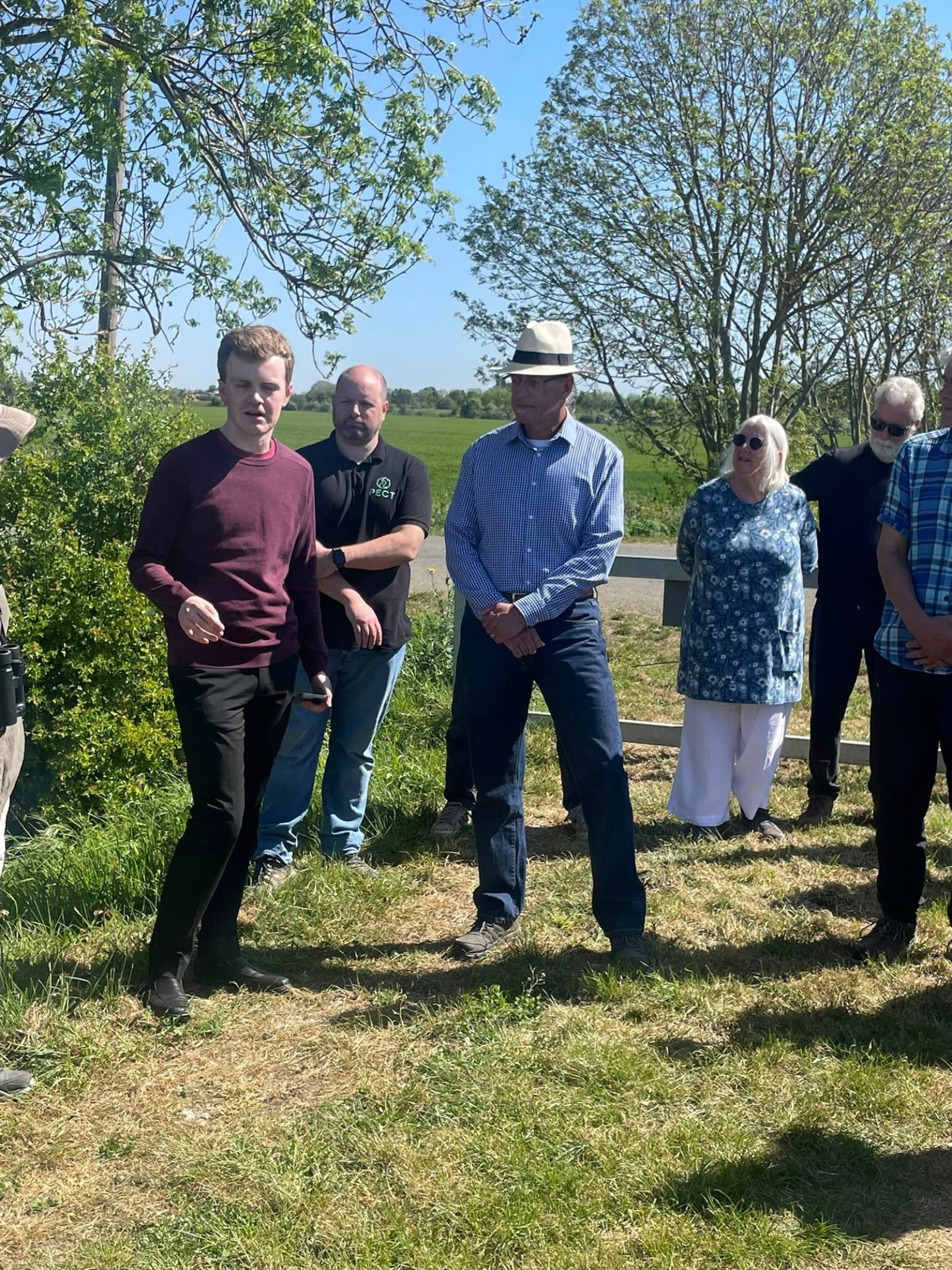
As part of the John Clare Countryside project, the trail, funded by the Environment Agency, and designed and installed by Langdyke Countryside Trust is designed to help people discover more about the history of the Cut, its role in flood defence and the thriving natural world around it.
The information trail stretches along the length of the Cut from the railway crossing Lolham Bridges to Nine Bridges in the West and consists of six new information boards, describing the history of the land, ranging from the Bronze Age settlements, through to the construction of the Cut itself in the 1950s. As well as the information boards, two new sets of steps have been installed to help walkers descend from the banks of the Cut into specially designed viewing points over the Langdyke Trust’s Christ’s College Nature Reserve.
New off-road parking has separately been put in place on the Langdyke reserve at Etton Maxey Pits, just north of the bridge over the Maxey-Etton road.
Managed by the Environment Agency, the Maxey Cut is a vital flood relief channel protecting the Deepings from the flood waters of the Welland. It was created in the mid-1950s when a new ‘cut’ was excavated between the old course of the Welland near Tallington and Lolham Bridges, and the Maxey North Drain was widened, deepened and embanked down to Peakirk. Prior to its construction the surrounding area was regularly flooded and virtually impassable during winter.
It continues to provide this important function but is also now a popular spot for walkers and a haven for wildlife. Two Langdyke reserves sit alongside the Cut, providing homes to rare insects such as Glow Worm, Barn Owls, grebes, herons and and many species of wildflower. The Cut itself teams with fish, such as Sea Trout, Eel and Chubb.
Between 1982 and 1987, archaeologist Francis Pryor led excavations near the Cut, uncovering a significant Neolithic causewayed enclosure dating back to the fourth millennium BC. Within the enclosure, numerous ritual pits were discovered, containing deliberately placed items such as smashed pottery, flint tools, and animal bones.
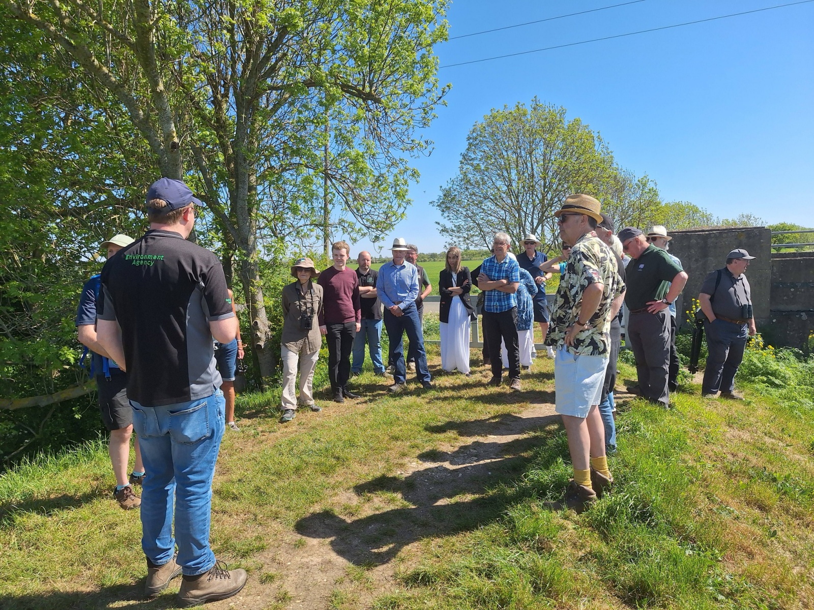
Chair of the Langdyke Countryside Trust, Richard Astle, said, “One of the aims of the John Clare Countryside project is to encourage people to learn about and appreciate the heritage – both natural and built – of the landscape west of Peterborough. Thanks to the support of the Environment Agency, we have been able to develop this trail and improve access. We hope more people will visit and appreciate the beauty and tranquillity of the area.”

Read more about the Maxey Cut here